The Cape Cod Rail Trail: A Mile-by-Mile Field Guide
All 27.5 miles, mile by mile. Parking that's actually findable, where to eat along the route, the spurs worth riding, and the four months of the year locals quietly prefer.
Twenty-seven and a half paved miles run from Yarmouth to Wellfleet on the bed of the Old Colony Railroad, which carried passengers and freight down the spine of the Cape from 1865 until the line gave up in 1937. Mass DCR took over the corridor in 1978 and started laying pavement. The 2018 Yarmouth extension pushed the western terminus to Higgins Crowell Road and made the Cape Cod Rail Trail the longest paved rail trail on the New England coast. This guide is built to be ridden with, not read about. The mile-by-mile table below is the load-bearing piece. The rest is context: where to park if you’re showing up on a July Saturday at nine, which spurs are worth the detour, which trailside bakery the locals will tell you to skip the line for, and the four riding windows that beat July without trying.
The Trail at a Glance: 27.5 Miles, Six Towns
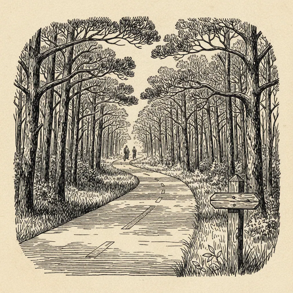
West to east, the trail passes through Yarmouth, Dennis, Harwich, Brewster, Orleans, Eastham, and Wellfleet. Six towns if you count Harwich as the spur-town it functionally is — the Cape Cod Rail Trail proper crosses Harwich, and the Old Colony Rail Trail branches south from the junction there toward Chatham. The surface is pavement the whole way. The grade is essentially flat; the steepest pitch is the gentle climb out of the kettle-pond country in Nickerson State Park, and even that won’t change your gear if you’re on a road bike. Hybrids, gravel bikes, road bikes, and e-bikes all work. The pavement is rideable on 25mm tires; nothing wider is required. The corridor’s history matters because it explains the route. Rail trails follow the easiest line a railroad could survey — water sources for the locomotives, gentle grades, the back doors of towns rather than the fronts. That’s why the trail skirts behind the village centers rather than running through them, why it crosses Route 6A and Route 137 at awkward angles, and why the prettiest stretches (Nickerson, the Eastham kettle ponds) are the stretches where the railroad once ran through nothing but pine. Sources used throughout: Cape Cod Rail Trail Friends’ published trail reports, Mass DCR corridor data, Mass Bicycle Coalition condition surveys, and Cape Cod National Seashore visitor center maps. Where a specific claim depends on a single source, it’s named in the line.
Mile-by-Mile Reference Table
| Mile | Town | Nearest Cross Street | Parking | Services Within ¼ Mile | Notes |
|---|---|---|---|---|---|
| 0.0 | Yarmouth | Higgins Crowell Rd | Yes (free) | None | 2018 western terminus; quietest start |
| 2.5 | Dennis | Old Bass River Rd | Yes (small) | Convenience store | Pavement renewed post-2019 |
| 4.5 | Dennis | Dennis village green | Yes (very limited) | Cafés, restrooms | Lot fills earliest on the trail |
| 7.0 | Harwich | Headwaters Dr | Yes | None | Old Colony Rail Trail junction at mile 7.5 |
| 10.0 | Brewster | Long Pond Rd / Rt 137 | Yes | None | Cross Route 137 with caution; signalized |
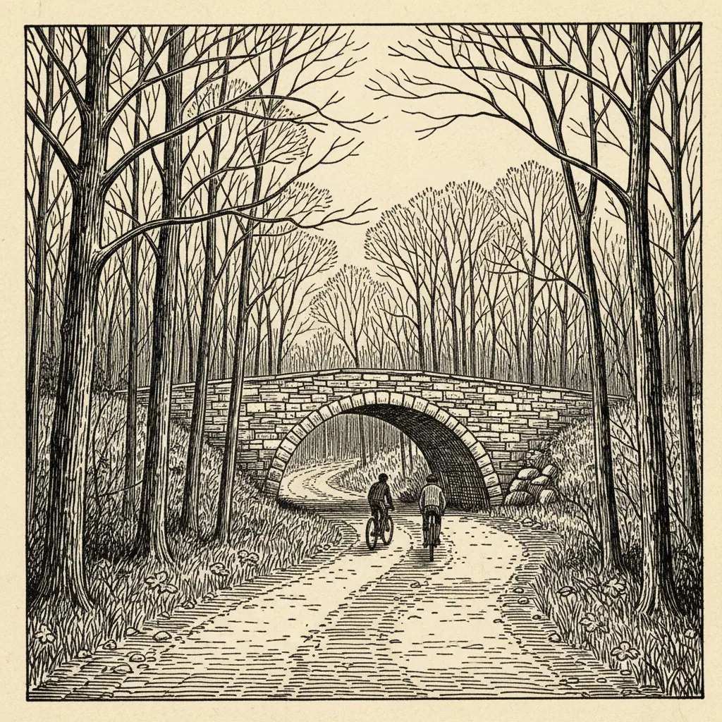
| 12.0 | Brewster | Nickerson State Park | Yes (DCR fee in season) | Restrooms, water | Longest pitch-pine stretch begins |
| 14.5 | Brewster | Brewster center / Rt 6A | Street only (scarce) | Snowy Owl Coffee, Cobie’s, market | Heaviest mid-trail traffic |
| 17.0 | Orleans | Main St / Rt 6A approach | Yes (town lot) | Hot Chocolate Sparrow, restaurants | Multiple road crossings; ride defensively |
| 19.5 | Eastham | Salt Pond / Rt 6 | Yes (NPS lot) | Visitor center, restrooms, water | Coast Guard Beach connector branches east |
| 22.0 | Eastham | Locust Rd | Yes (small) | None | Kettle-pond country; quietest mid-route |
| 25.0 | Wellfleet | LeCount Hollow Rd | Yes (free, generous) | PB Boulangerie at mile 24 | Easiest morning parking |
| 27.5 | Wellfleet | South Wellfleet | End of trail | None at terminus | Pavement ends; do not continue on Rt 6 |
| Two intersections deserve their own line. Route 137 in Brewster crosses the trail at grade with a signal, but the signal is short and traffic moves fast in both directions; dismount if you’re with kids. The Route 6A approaches in Orleans stack three crossings within a half mile and the sight lines are bad in two of them. The Wellfleet center crossings are calmer but unsignalized. |
Parking, Ranked by July Saturday Reality
If you arrive at nine on a July Saturday, the lots fill in this order: Easiest: Wellfleet’s LeCount Hollow lot. Generous, free, rarely full before late morning. The trade-off is you’re starting at the eastern terminus and riding west into the crowded middle. Moderate: Eastham’s Salt Pond Visitor Center, run by the National Seashore. Bigger than it looks; turnover is steady because most cars belong to beach-bound visitors who clear out by midafternoon. Hard: Orleans town lot and Nickerson State Park. Nickerson charges a DCR day-use fee in season, which thins the casual-cyclist crowd; if you’re already paying the entrance, the lot is reliable. Very hard: Brewster center. Street parking only, and most of it is reserved or two-hour limited. Effectively impossible after 8:30 a.m.: Dennis village green. From mid-October through April, every lot on the trail is open and uncrowded. The pavement is rideable through most of the winter; the few days a year it’s snow-covered, it’s snow-covered uniformly, and Mass DCR clears the high-traffic segments first.
Spurs and Side Trails Worth the Detour
The Old Colony Rail Trail branches south from the Harwich junction near mile 7.5 and runs about eight paved miles to Chatham center. It’s quieter than the main trail, the surface is good, and Chatham is a defensible turnaround — there’s a working harbor, a lighthouse, and food. Round-trip from the junction is sixteen miles, which makes it a credible half-day on its own. The Stony Brook Mill spur in Brewster leaves the main trail near mile 13 and runs about a mile of dirt down to the herring run and the 1873 grist mill. The surface won’t suit a road bike. In April and early May the alewives run upstream through the fish ladder and the spot becomes one of the most-watched wildlife events on the Cape. The Salt Pond to Coast Guard Beach connector in Eastham is the best single detour on the route. Paved, separated from traffic, it runs from the Cape Cod National Seashore visitor center down to the Atlantic. About a mile and a half each way. The dune crossing near the end is the kind of view that justifies the entire trip.
Where to Eat Without Getting Off the Bike
PB Boulangerie in South Wellfleet sits roughly a quarter mile off the trail near mile 24. It’s a working French bakery; the croissants are the order, and the line on a Saturday morning is the price of admission. Hot Chocolate Sparrow in Orleans (mile 17) and Snowy Owl Coffee Roasters in Brewster (mile 14.5) are the two coffee anchors. Sparrow has been the after-school stop for Orleans teenagers for a generation. Snowy Owl roasts on-site. Cobie’s in Brewster sits at the trail’s edge near mile 14. Fried clams, onion rings, soft-serve. Memorial Day weekend through mid-September only; closed the rest of the year.
When to Ride: Four Windows That Beat July
Mid-May. The shadbush is in flower along the corridor, the parking lots are half-empty, and the trail is dry. The water at the kettle ponds is still cold enough to keep the swimming crowds away, which means the ponds belong to the people willing to put a foot in. Late June, before July 4. The weather has settled, the days are long, and the summer-rental cycle hasn’t fully started. Reliable, underrated. Early September. The consensus-best window. Water at its warmest, traffic thinning by the day, restaurants still open. If you ride the trail once a year, ride it the week after Labor Day. Mid-October. The Cape isn’t where most people go for foliage, but the pitch-pine and oak stretch through Nickerson State Park turns rust and gold and lasts about ten days. Cobie’s is closed; PB Boulangerie is not. Bring a layer. The trail will be here in November, and February, and next May. It is the rare piece of New England infrastructure that rewards the off-season as much as the high one. Plan accordingly.