The Precipice Trail: New England's Most Famous Vertigo Hike
New England's most-famous vertigo hike. Iron rungs, narrow ledges, peregrine falcon closure, and who should not attempt it.
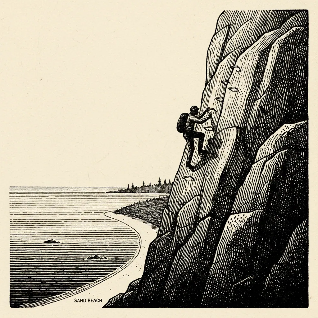
The Precipice Trail is 0.9 miles long. It climbs 1,000 feet up the east face of Champlain Mountain on iron rungs bolted into the rock, and the National Park Service classifies it as a non-technical route, which is a generous reading of what the trail actually asks of you. Non-technical means you don’t need a rope. It does not mean the trail is forgiving, or that the rungs are optional, or that the 200-foot drop off the narrows is a trick of perspective. The Precipice is the most exposed maintained trail in the Northeast. People go up it every summer who shouldn’t, and a percentage of them call rangers from a ledge halfway up because they cannot make their hands let go. This is a guide to deciding whether you’re one of them before you’re standing on the rock.
What the Precipice Actually Is
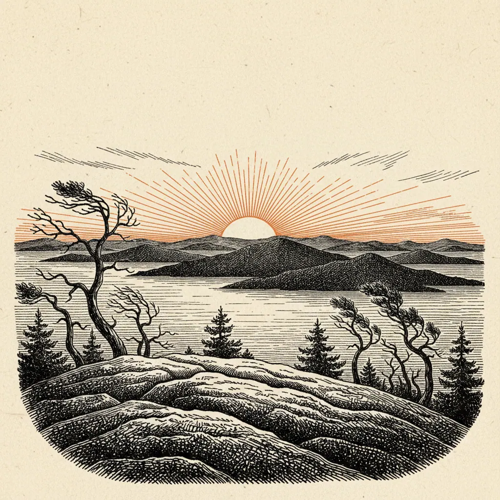
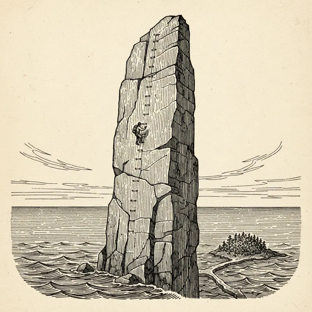
The trailhead is a small pull-off lot on Park Loop Road, just south of Sieur de Monts on the one-way section heading toward Sand Beach. The lot holds maybe twenty cars. On summer weekends it fills before 7 a.m., and by mid-morning the overflow lines the shoulder for a quarter mile in either direction. If you arrive after 9 a.m. in July, plan on parking somewhere else and walking in. The route runs 0.9 miles up the east face of Champlain Mountain to the 1,058-foot summit. That’s a thousand feet of vertical in less than a mile, which on its own would put it in the steep-trail category. What moves it into its own category is how the vertical is delivered: four or five iron-rung sections ranging from fifty to a hundred feet long, narrow ledges (the section called the narrows runs roughly eighteen inches wide with a 200-foot drop off the right side), and a handful of outcrops where the next rung is bolted around a corner you can’t see until you’re committed to the move. The NPS calls it non-technical because no rope or specialized gear is required. The Mount Desert Island Search and Rescue annual reports tell a different story; the Precipice and the Beehive together account for a disproportionate share of the park’s hiker-rescue calls year over year. The cliff face is one of two active peregrine falcon nest sites in Acadia, and the closure runs from the start of nesting through fledging. The reopen date moves. Rangers monitor the nest weekly through summer, and the trail reopens once the chicks have fledged and are flying independently, sometimes early August, sometimes late, occasionally not until the posted August 15 limit. The closure is enforced. Rangers post at the trailhead. You will not get up the trail in July by claiming you didn’t know. If you’re driving from off-island for a Precipice hike, check the NPS Acadia trail status page the morning of. The reopen announcement comes a few days ahead when it moves early, and the Park Service is good about posting it. It’s the warm-up, and it does useful triage work; anyone who finds the lower scrambles already at their limit should turn around there, before the trail commits in earnest. The exposure is mild, the holds are obvious, and you can reverse the moves without consequence. The middle third is the trail. This is where the iron rungs start in earnest, where the narrows traverse comes in, and where the wall steepens past sixty degrees. The rungs are well-set and the rebar is thick, but the spacing is calibrated for adult reach, and on the longer pitches you climb forty or fifty feet of rungs in a row with nothing below you but the ledge you came off and a long view down to the road. If vertigo is going to happen, it happens here. The narrows is where most people who turn around turn around. The upper third is exposed face climbing on rungs and bracket-bolted footholds. There are two or three moves where the route rounds an outcrop and you have to commit to the rung you can’t quite see, and these are the moves that separate hikers who came prepared from hikers who came hopeful. The handholds are there. They’ve been there since the 1930s. You have to trust them. The summit view is the payoff and it is, on a clear day, one of the great views on the Atlantic seaboard: east across Frenchman Bay to Schoodic and the open ocean, west to the Bubbles and Cadillac, and straight down the thousand feet of rock you just climbed.
Going Down Is Harder Than Going Up
You do not descend the Precipice. The standard NPS guidance, echoed by every guidebook and every ranger you’ll talk to at the trailhead, is to come down via either the East Cliff Trail (steeper but less exposed, no rungs) or the Bear Brook Trail (gentle, well-graded, adds about a mile and a half to the day). The reason is mechanical and psychological. Looking up at a rung face, you see the next hold. Looking down, you see the drop. Most freeze-ups on the Precipice happen on hikers who summited fine and then turned around to come back the way they came, and the Search and Rescue calls that follow are usually somewhere in the middle of the wall, on a rung, with the hiker unable to make their hands move. If your knees are already a question mark, take the Bear Brook return. The extra distance is gentle grade through forest, and it deposits you on the loop road a short walk from the parking lot. The East Cliff descent is shorter but loses the elevation in a hurry on rough talus, and it punishes knees in a way the Bear Brook doesn’t.
Who Should Skip It
If you have a real fear of heights, not the everyday flinch, but the kind that locks your hands, this is not the trail to confront it on. The exposure is sustained for forty-five minutes minimum, and there is no point on the upper two-thirds of the route where you can opt out. The only way off the wall once you’re past the narrows is up. If you’ve never done a Class 3 or Class 4 scramble before, the Precipice is not the place to learn. If you’ve ever frozen on a fire-tower ladder or a fixed-rope section on another hike, you already have your answer. The Park Service recommends sixteen and up, and advises that children under fourteen should not attempt the trail regardless of climbing experience or how comfortable they seemed on the Beehive last summer. The Beehive, in fact, is the honest alternative. It’s also rung-aided, also on the east side of the park, also delivers a top-tier view, and it’s a fraction of the length and exposure. If the Precipice description in this post made you uneasy at any point, do the Beehive instead. It is not a consolation prize. It’s the right hike for most of the people who think they want the Precipice. The Precipice rewards the people it’s built for and punishes the people it isn’t. Knowing which one you are is the work of the hike, and most of that work happens in the parking lot, before the first rung.