Sea Smoke: When the Maine Coast Steams in January
When the air drops to zero and the ocean is still 38, the coast steams. Six places where January sea smoke is most reliable, with photography notes and safety reality.
Sea smoke is the kind of weather event that makes you set an alarm for 4:45 a.m. in January and actually get out of bed. There’s a specific morning, every winter, when the thermometer on the back porch reads zero or close to it, the Gulf of Maine is still holding around 38°F, and the ocean appears to boil. The mist that rises off the water, knee-high in some places and chest-high in others, is sea smoke. Unlike most photogenic New England weather, it’s predictable enough to plan a trip around if you know what you’re looking for. Water vapor evaporating off a comparatively warm ocean condenses the instant it meets air that’s far colder, producing a low layer of mist that drifts and rolls across the surface like steam off a hot pan. It’s the same reason your coffee fogs in a cold kitchen, scaled up to the Atlantic. The threshold matters. The general rule among meteorologists working the Gulf of Maine is at least a 40°F differential between water temperature and air temperature, with 50°F producing the dramatic plumes that show up in magazine spreads. Wind is the other variable. Anything above ten knots tears the layer apart before it can build; dead calm or near-calm is what you want. January is the sweet spot in Maine because the ingredients line up. The ocean is still holding heat from autumn, with surface temperatures in the upper 30s through most of the month, while Arctic air masses periodically drop coastal readings well below zero. NOAA’s GOES-East satellite loop, on the right morning, will show the plumes spilling off Penobscot Bay, Casco Bay, and Frenchman Bay in pale streaks visible from orbit. If you can see it from space, you can definitely see it from a parking lot at Pemaquid.
Six Places It Shows Up Most Reliably
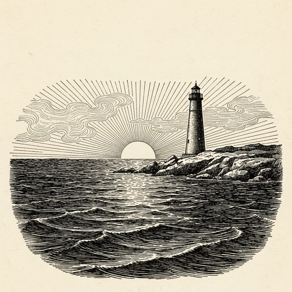
The south- and east-facing headlands are the consistent producers, partly because of geometry (the mist needs open water to build over) and partly because the parking access tends to stay plowed. Pemaquid Point Light and Marshall Point in Port Clyde are the midcoast standouts. Both face south, both have low approaches that put you nearly at water level, and both have lots that get plowed reliably even in a hard cold snap. Marshall Point in particular gives you the boardwalk-and-light composition that makes the mist read clearly against a hard subject. Two Lights State Park in Cape Elizabeth and Portland Head Light a few miles up the coast are the reason most published sea-smoke frames look the way they do. The eastern exposure puts the rising sun behind the mist from the photographer’s position, which is the lighting that makes the phenomenon photograph the way the eye actually sees it. The Schoodic Peninsula loop road and the Bass Harbor Head Light boardwalk are the cold-weather plays. Farther east, colder on average, and the Acadia crowds that clog Cadillac Mountain in summer are nonexistent in January. Schoodic in particular tends to run a few degrees colder than Bar Harbor proper, which is exactly what you want.
Shooting It
There’s a roughly 90-minute window. The best light runs from sunrise to about an hour and a half after, when the sun is still low enough behind you to backlight the mist without washing it out. After that the sun climbs, the temperature climbs with it, and the mist starts to dissipate. Lens choice depends on what you want the frame to say. A long lens in the 200 to 400mm range compresses the layered mist against a lighthouse or a headland and produces the postcard frame. Most working coastal photographers shooting this phenomenon also carry a 35mm and shoot wide for context, because a tight frame of mist alone reads as fog; you need a lobster boat, a ledge, or a light to anchor the scale. Composition rule of thumb: sun behind you, water in front, a hard subject in the middle ground. The mist needs something to read against. A bare horizon will give you a pretty picture; a granite ledge poking through the layer will give you a frame somebody wants to print.
The Cold Is Not a Metaphor
This is the part where the romance ends and the gear list begins. Zero degrees on a Maine headland with even ten knots of wind puts the effective wind chill in the negative teens. Exposed skin starts freezing inside fifteen minutes. The weather service issues frostbite warnings during the same cold snaps that produce the best sea smoke. The two go together. Layered cold-weather gear is the floor, not the ceiling. A merino or synthetic base layer, an insulating mid layer (down or heavy fleece), a hardshell against the wind, insulated boots rated well below the actual temperature, and a hat that covers the ears. Two pairs of gloves: a thin liner pair you can shoot in for short stretches, and a heavy insulated pair for everything else. The liners alone will not keep your hands warm for an hour. Plan around that. Park within walking distance of the shot. The single best piece of cold-weather advice for this kind of work is having a warm car you can retreat to every twenty minutes. Run the heat, thaw your hands, swap to the dry glove pair, eat something, go back out. The difference between a productive morning and an emergency-room visit is the running car a hundred yards away.
Who to Follow for Real-Time Conditions
Sea smoke is forecastable, which is most of why it’s worth the trouble. The National Weather Service Gray, Maine office posts sea-smoke alerts on social media during cold snaps, often the night before the event. That’s the most reliable lead time available to anybody not running their own atmospheric model. If NWS Gray is calling for it at 6 a.m. tomorrow, set the alarm. Benjamin Williamson, whose January 2024 Yankee cover was a sea-smoke frame at Portland Head, documents the phenomenon annually and tags locations. Peter Lourekas at Maine Magazine does the same. Following both gives you a real-time feed of where it’s actually happening on a given morning, which beats any forecast model for ground truth. The morning of, cross-reference with the GOES-East satellite loop. NOAA’s site updates the imagery at fifteen-minute intervals, and the plumes show up as faint streaks of white pulling away from the coast. If you can see it from the satellite at 6 a.m., it’ll be there when you arrive at the lighthouse at 7. If you can’t, save the gas. Sea smoke is one of the few New England weather events that rewards planning over luck. The window is short, the cold is serious, and the shot is the same shot every photographer working the Maine coast has been chasing for a hundred years. The good news is the conditions repeat, every January, two or three mornings if it’s a warm winter and a half-dozen if the Arctic air keeps coming. Watch the forecast for the next zero-degree night with calm wind, and start packing layers.